One of the stops we always had in mind for our next trip across the country was Pikes Peak. No, it's not called "Pike's" Peak like it should be. Somewhere along the line they officially renamed it to Pikes (with no apostrophe) Peak, even though it is named after Zebulon Pike. Weirdos.
Anyway, it's a really tall mountain. It's more than 14,000 feet tall, actually, which is pretty darn high. We've crossed many a contintental divide on this trip, and most of those were in the 8,000 feet range, and even they felt high. The point is, Pikes Peak is the real deal.
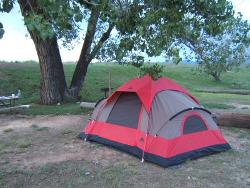
So we left our campsite...
... in Colorado Springs and headed for the mountain.
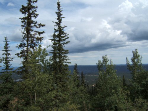
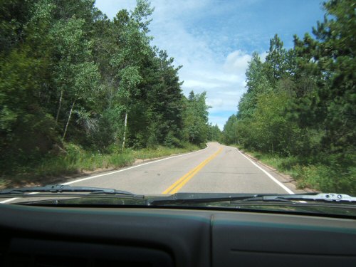
At this point, the terrain was almost desert-less, and almost completely pine trees. It's pretty incredible to drive through a huge forest of 100% conifers.
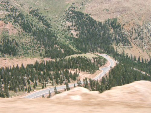
As we approached the exit for Pikes Peak Highway, the road that leads to the summit, we rolled up to a huge traffic jam. We skipped that exit and took another one nearby. Big props to Jenny and her friend, GPS, for finding a new, faster route. In no time we were pulling up to the toll booth at the base of the mountain. Twenty bucks later we were on our way up the road.
Here's what's really cool about this mountain. You cover so much elevation on your way up that you see three or four completely different environments. You start at the bottom, around 5,000 feet, where it's green, lush, and about 90 degrees. Then you climb a bit, and at around 8,000 feet the non-pine trees are completely gone. Then at about 10,000 there are all sorts of new flowers blooming.
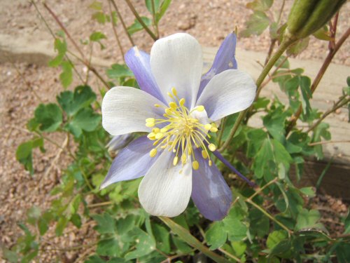
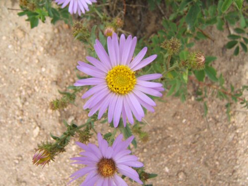
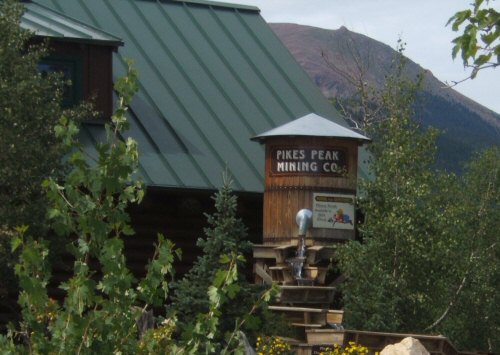
Maybe it's a sort of spring-like climate up there in early August. It was around 60 degrees, I guess, and on Pikes Peak at 10,000 feet, they have a big gift shop type of place right next to Crystal Geyser Lake.
They made it look cool, as you can see. I wish we would have gotten a photo of the lake. Oops.
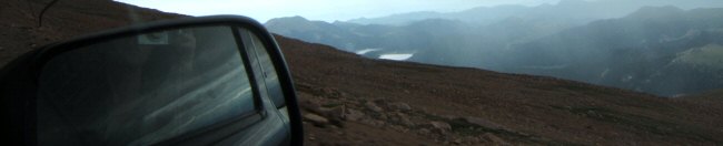
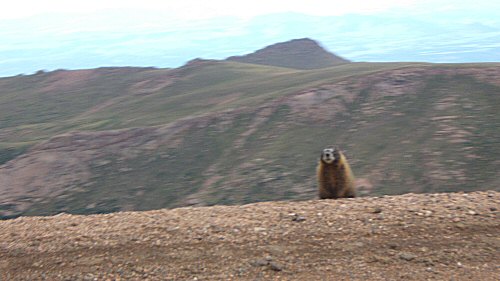
The really cool part comes around 13,000 feet. Lots of cars start pulling off the road because they just can't get enough oxygen out of the air to run (some humans can't, either) and you can see the "Timberline" up ahead. That's the line where the elevation is so extreme that even pine trees cant grow.
Its just dirt, rocks, and tundra. I always thought "tundra" only referred to really cold areas where everything was frozen and stayed frozen, but apparently, there are some plants called tundra that can grow up in the high altitudes where nothing else can survive. We saw signs telling use to stay on the trails at all costs because otherwise we might trample the tundra which takes 75 years to grow a half an inch. Yeeeeow! OK, on the trail it is.
We did manage to see some animal life up at almost 14,000 feet, though. This yellow-bellied marmot stopped to say hello.
Get the Flash Player to see this player.
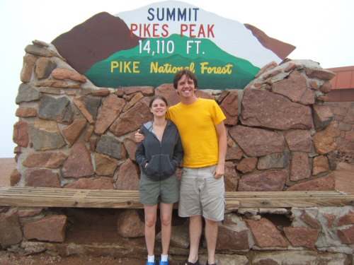
Well, we made it to the summit, and when we stepped out of the car wearing shorts we were reminded of how much we love the summer at lower altitudes. It was 40 degrees. Check us out:
 |
 |
We bought some souvenirs at the gift shop, passed on the uninteresting food options, took a few more pictures, and headed back down the mountain. It had started raining at this point, and we didn't have too much fun rolling down, twenty miles, in first and second gear. About half way down there was a manadatory "brake check" station where they test everyone's brake temperature to see if we've been braking too much so far. I failed. So we had to pull off at the conveniently located gift shop. Hmm... seems like we may have fallen for the old "take a break from your brakes and buy our stuff" routine. Oh well.
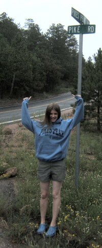
When we finally reached the bottom, we stopped for as quick picture of Jenny Pike wearing her Pikes Peak sweatshirt at the corner of Pikes Peak Highway and Pike Road. Thats a lotta Pikes.
Well, at this point, we don't really have a lot to do other than drive home to Nashville. Most of the trip out to the west coast was full of good stops, and the trip back up until now has been especially action packed. Now it's on to... Kansas.
It's gonna be WILD. Don't miss it. We've sold you the whole website, but you'll only need the edge. |
Next Day >>
|